Our story, mission, and the team behind our work.
Who We Are
Techsys Surveys Limited is a multidisciplinary land and property consultancy providing integrated professional solutions across the entire property lifecycle. We bring together licensed Land Surveyors, Estate Surveyors and Valuers, Town Planners, and other allied professionals to deliver services in land surveying, geospatial solutions, land administration, property documentation, valuation, town planning, property management, real estate consultancy, property acquisition and sales, development advisory, and infrastructure support. By combining technical expertise, modern technology, and sound professional judgment, we help individuals, businesses, developers, financial institutions, and government agencies make informed decisions, minimise risks, and maximise the value of their investments.
We believe every parcel of land represents an opportunity and every property deserves professional care. Our commitment goes beyond delivering services, we build lasting relationships founded on Accuracy, Truth, Service, and Sincerity. From your first consultation to project completion and beyond, we are dedicated to providing practical advice, transparent communication, timely delivery, and solutions tailored to your unique needs. Whether you are acquiring land, documenting ownership, planning development, managing assets, or investing in real estate, you can rely on Techsys Surveys Limited as your trusted partner in creating certainty, protecting investments, and building lasting value.
Leadership

SURV. ELETU, AHMED AJIBOYE
CEO
Surv. Ahmed Ajiboye Eletu, MNIS, MGEOSON, is the Founder and Chief Executive Officer of Techsys Surveys Limited, a multidisciplinary land and property consultancy dedicated to delivering professional surveying, geospatial, real estate, and development solutions. He is a licensed Land Surveyor with extensive experience in cadastral, engineering, hydrographic, and topographical surveys, as well as drone mapping, Geographic Information Systems (GIS), remote sensing, land administration, and property documentation. Over the years, he has successfully led and supervised projects for individuals, corporate organisations, educational institutions, and public sector clients across Nigeria. Driven by a passion for professionalism, accuracy, integrity, and innovation, Surv. Eletu believes that sustainable development begins with reliable geospatial information and sound professional advice. Under his leadership, Techsys Surveys Limited, working in collaboration with experienced Surveyors, Estate Surveyors and Valuers, Town Planners, and other allied professionals, has evolved with a clear vision of becoming a trusted one-stop destination for land surveying, property documentation, estate consultancy, valuation, property management, town planning, and real estate advisory services. Beyond private practice, Surv. Eletu is committed to academic excellence and professional development. He serves as an Associate Lecturer in the Department of Surveying and Geoinformatics at the Ogun State Institute of Technology, Igbesa, where he contributes to the training of future surveying professionals and supports research, innovation, and technical advancement within the geospatial industry. As a firm advocate of ethical practice and client-focused service, he believes that every parcel of land tells a unique story and every property represents an important investment. His professional philosophy is built on the conviction that every client deserves honest advice, accurate technical solutions, transparent communication, and dependable service. Through Techsys Surveys Limited, he remains committed to helping clients make informed decisions, protect their investments, and create lasting value with confidence. "At Techsys Surveys Limited, we don't just measure land—we help our clients build confidence, secure investments, and shape a better future."
MNIS, MGEOSON
LinkedIn →Our Network
Surveyors Council of Nigeria
Regulatory Body
Nigerian Institution of Surveyors
Professional Body

Association of Private Practising Surveyors of Nigeria
Professional Body
Ministries of Land & Housing
Government Body
Geoinformation Society of Nigeria
Professional Body
Our Technology
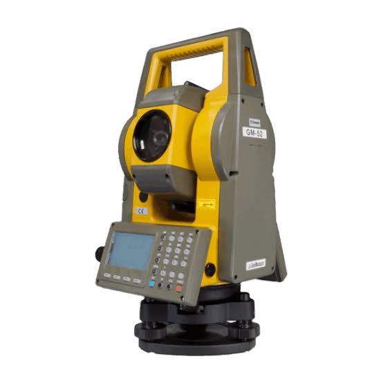
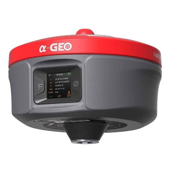
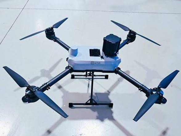
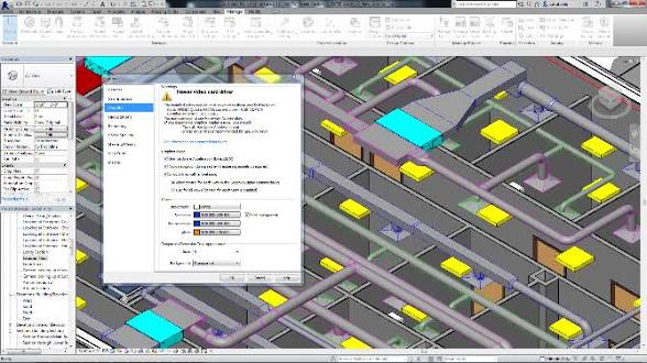
State-of-the-art instruments for precision and reliable survey results.
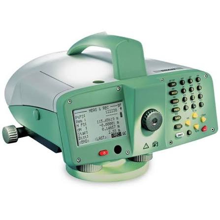
Sprinter
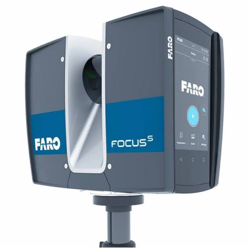
The FARO Focus S350 is a highly portable, long-range terrestrial 3D laser scanner designed for precise indoor and outdoor data capture.
Trimble R10
Drone/Aerial DJI Phantom 4 RTK
AutoCAD Survey Suite software
Contact our certified team for a free consultation today.